2.3 mi of trail, end to end · about 80 ft of climbing · 200 ft of descent · 715 ft–789 ft · native surface
Walk the Nature Trails the Park Service's write-up
30-60 Minutes · dogs allowed
Start Tallgrass Prairie Observation Deck
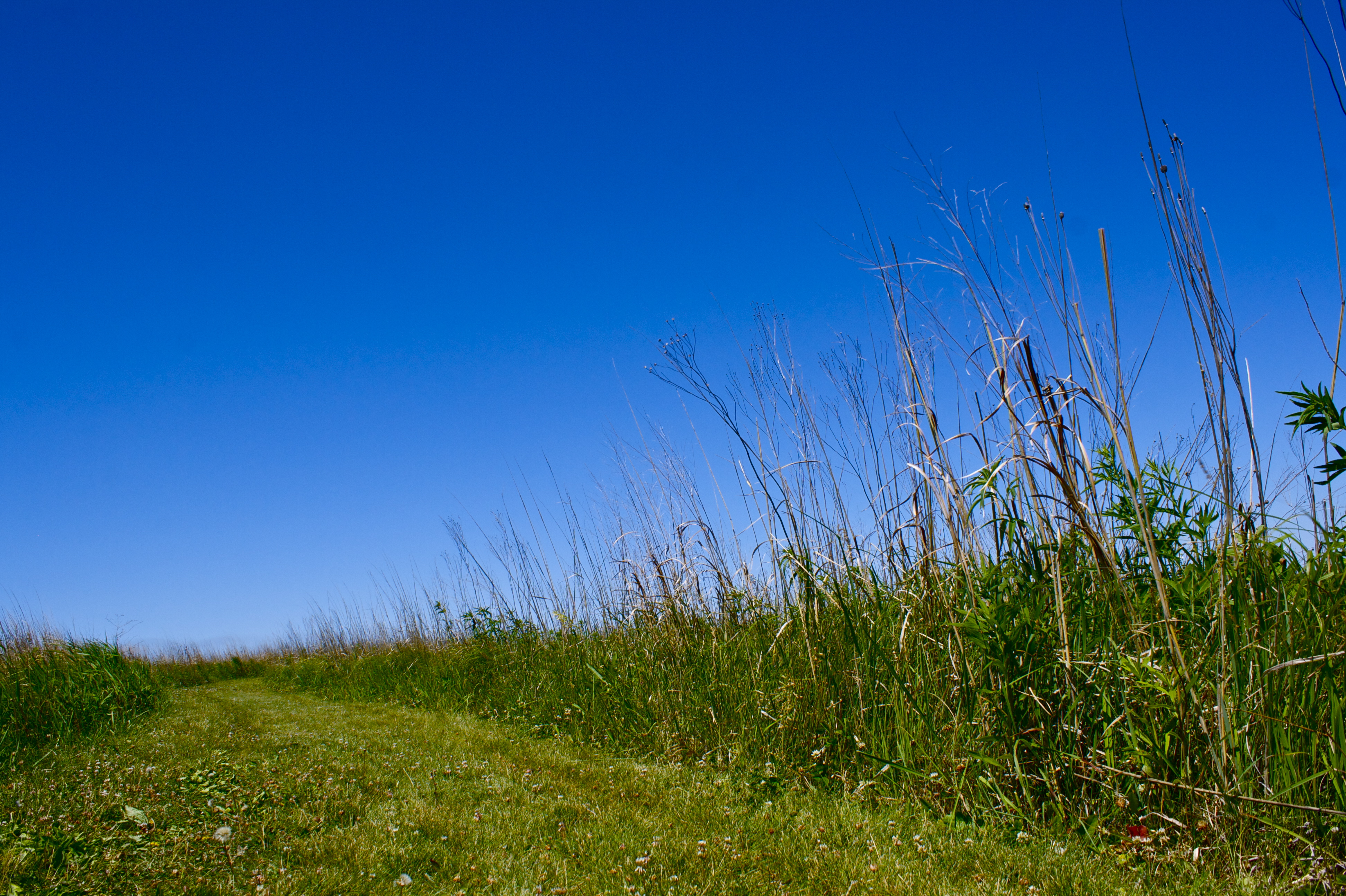
The prairie trails are mowed grass. Photo: NPS Photo / John Eicher
Herbert Hoover National Historic Site offers over two miles of trails through the tallgrass prairie and along Hoover Creek for hiking, cross-country skiing, snowshoeing, and nature study. Trail maps are available from the visitor center. In the winter the snow-covered trails are not groomed for skis.
Accessibility The tallgrass prairie trails are mowed grass over rolling hills. The prairie may be viewed from a ground-level observation deck along the wheelchair-accessible trail to the Gravesite, which passes through part of the prairie.
The lines are the National Park Service's public trails layer, the trailheads and the waterfalls, views, peaks and historic places along them the Service's public points of interest, read 2026-10-16 and simplified for the map; the length is the line's, end to end. The write-ups are the Service's own "things to do" text, unedited. Heights come from USGS 3DEP through Terrain Tiles on AWS (Mapzen/Tilezen), read along each line and rounded; a short trail on steep ground can be off by a few tens of feet. Closures change: check the park's own site before you go.